


Dispatch 8: Going Exploring
9th August 2012
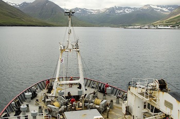 Siglufjordur, Iceland Harbor Approach |
The ship seems a bit bereft this morning of both gear and people. The mooring work complete—with great success, thanks to fair weather and skillful technicians and ship handlers—we dropped off six of our number and several tons of their gear in the little fishing town of Siglufjördur at the apex of a glacier-carved notch in the northern coast of Iceland. In only eight days, this team recovered fourteen moorings, extracted their stored data, and redeployed ten of them north of Iceland and in the Denmark Strait. Though the odds were stacked against it, every one came back intact bearing complete data sets. “That,” said Bob, “is off the charts.” So now, after the year-long knowledge gained from twelve moorings that had been strung picket-fence fashion across the Denmark Strait, Bob and his international colleagues have left but five moorings in the most propitious spots to measure the through flow.
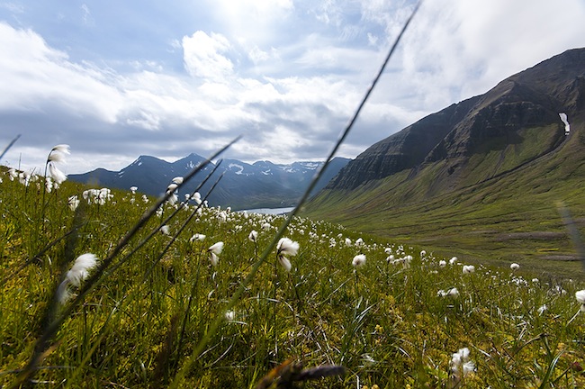
In the wee hours of yesterday morning, light wind, glassy flat seas, mountains materialized out of the fog. Only isolated patches of snow spatter the higher elevations, but the signs of ancient ice, cirques and arêtes that look cairns built by trolls, and other alpine features, are apparent everywhere. If Ice Age glaciers formed a first draft of this coast, contemporary erosion continues to rewrite it. Silver ribbons of waterfalls slice deep gorges in the mountain flanks. Parallel rows of steel revetments mounted on the steeper slopes wait to protect the little town from winter avalanches that further erode the landscape, geologic time in fast-forward mode.
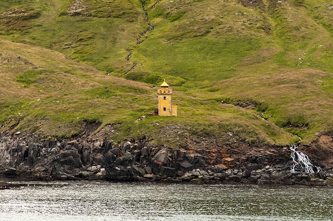 Old Lighthouse |
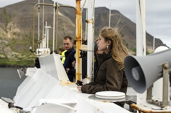 As If We Were Tourists |
The old paradigm held that the dense water in the East Greenland Current, some of it flowing south out of the High Arctic, accounted for all the water passing through the strait. But in 1999, our Icelandic friends, Steingrimur Jonsson and Hedinn Valdmarsson, “blew that idea out of the water,” as Bob put it. Monitoring with ADCPs the slope waters close aboard the north coast of their island, they noticed a margin of enhanced flow in 600 meters of water. It looked a lot like a current. But nobody had ever heard of such a thing. Could this actually be a new current? Well, maybe. But it might just as well have been some tidal phenomenon or a short-term variation in something or other. So they went back for another look. And there it was again, flowing from east to west toward the Denmark Strait. It wasn’t enormous, about one million cubic meters of cold water per second, but that’s not trivial. In 2004 Hedinn and Steingrimur published a paper in the technical journal Geophysical Research Letters, proposing that it was indeed a new current, and what’s more, it contributed a “major” portion of the water entering the Denmark Strait.
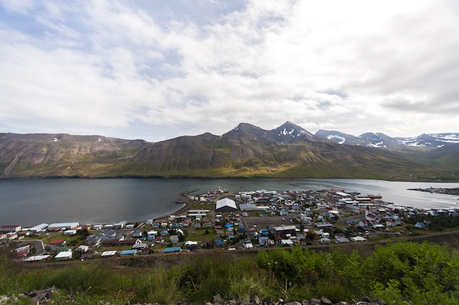 Inside Siglufjordur Harbor |
'To discover it’s true nature, its ways and means, is the objective of this, the second half of the cruise.'
Bob, Kjetil, Steingrimur, and Hedinn returned to the region aboard the Icelandic R/V Bjarni Samundsson in 2009 to run more hydrographic and velocity lines across the current. Then everyone went home to analyze the data. Yes, the current actually does flow around the northwest corner of Iceland into the strait, no question about it. So now it needed a name. In exploration, the privilege of naming the new traditionally falls to the discoverer(s). The Icelanders settled on the North Icelandic Jet (NIJ). But the current’s existence, now affirmed, presented multiple questions: Where did it come from? What caused it? More data was necessary before old paradigms fell to the new. That came last year, again aboard R/V Knorr. Bob and Kjetil proved that the NIJ does not flow from elsewhere, but originates right there on the Iceland shelf, result of a complex oceanographic process that we need not expound, since the details of the NIJ are not our present concern. The important point for us now is that the NIJ supplies some fifty percent of the cold dense water flowing through the strait, thence southward to sustain the integrity of the vital Meridional Overturning Circulation.
 Mountains Above Siglufjordur |
